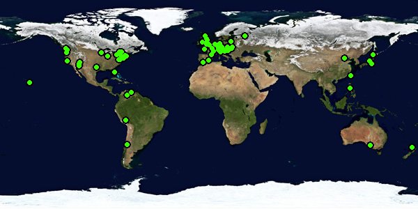
WWP Home This Event Indices: Alphabetical | Regional | Thumbnail | Map Previous eventPrevious | NextNext Event
To Main WWP Page To Event Page Event Title

Paths - A World Wide Panorama


Click on the globe below... or choose the random panorama


Navigate by map thumbnail
map
Go to the World Wide Panorama Map Random panorama
deco

Download data files for popular world viewers:
Previous Events:

Go to the WWP Home Page

decoA VR panorama (VR for virtual reality) is a specially created computer image that goes all the way around the viewer. It is a revolutionary way to document a particular place and time - the next best thing to being there.

VR panoramas are interactive. Use the mouse to rotate the panorama, use Shift and Control to zoom in and out.

Paths

by Pat Swovelin

noun, plural paths [pathz, pahthz, paths, pahths].
1. a way beaten, formed, or trodden by the feet of persons or animals.
2. a narrow walk or way: a path through a garden; a bicycle path.
3. a route, course, or track along which something moves: the path of a hurricane.

Initially that may sound pretty boring but once you start to think about it as it relates to where you are on the planet all sorts of possibilities open up. Paths involves both paths of the present world (e.g., freeways, roads and sidewalks, insect/animal trails, contrails (they show the paths in the sky planes fly in), star trails, rivers, glaciers) and of the past also (e.g., where Hannibal crossed the Alps or the paths that Asians used when they migrated across Beringa and wound up populating the western hemisphere or where ships sailed from the Marquesas and later discovered Hawai'i or all roads lead to Rome or the scarring left in cliffs by glaciers as they moved towards the sea or an old lava flow). There are paths all around you if you just have the eyes to see them.

Be creative.

Show us some.

All images are copyright by the individual photographers. Use in any way other than viewing on this web site is prohibited unless permission is obtained from the relevant photographer.
All images and panoramas are NOT in public domain, unless stated otherwise by the contributor! The individual photographers retain their rights to their works. Any inquiries need to be sent to the individual participants. The WWP admin team does not provide contact information beyond what has been made public by the participants on their profile pages.


The overall site is copyright by the World Wide Panorama Foundation, a California Public Benefit Corporation.

The World Wide Panorama events were originally sponsored by the Geography Computing Facility at the University of California Berkeley, and hosted by The Geo-Images Project. The WWP is now run by the World Wide Panorama Foundation, a California Public Benefit Corporation.
This is a non-commercial project, done simply to create enthusiasm for VR photography, and provide an outlet for our collective creativity.

The World Wide Panorama was founded by Don Bain and Landis Bennett. Interactive maps and database programming by Markus Altendorff. Logo and region graphics by Kat Bennett. Google Earth management by Thomas Rauscher.

WWP Home This Event Indices: Alphabetical | Regional | Thumbnail | Map Previous eventPrevious | NextNext Event